


PhD Project
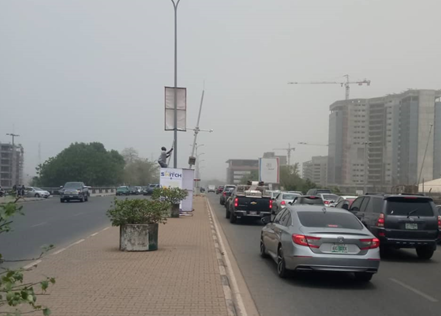
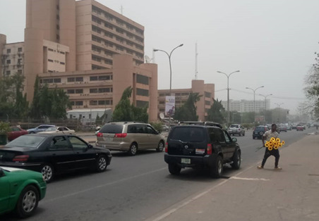
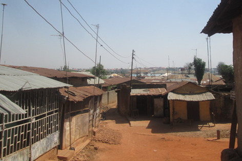
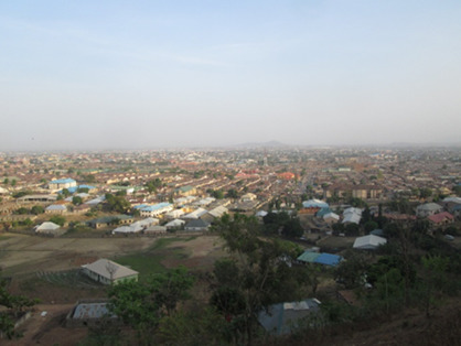
Urban Land Dynamics in the Abuja City-Region, Nigeria, is a PhD project to contribute to effective land use planning for improving urban and environmental sustainability using integrated empirical data derived from GIS, Remote Sensing, and surveys to offer detailed and new insights into urban land dynamics. The project is divided into three main parts, including “Land Cover Change in the Abuja City-Region, Nigeria: Integrating GIS and Remotely Sensed Data to Support Land Use Planning”. This part of the project aims to integrate GIS and open access RS data to examine spatial trends of urban land cover change in Abuja, Nigeria between 1987 and 2017 to provide baseline information for informed land use planning. The second part of the project is “Simulating Urban Land Expansion in the Context of Land Use Planning in the Abuja City-Region, Nigeria”. The goal of the second part is to investigate the possibility of balancing the need for urban expansion and the protection of environmentally sensitive areas designated by land use plans. The third part of the project is “Key Challenges for Land Use Planning and its Environmental Assessments in the Abuja City-Region, Nigeria”. The project is funded by Paul+Maria Kremer Stiftung.
Output
Enoguanbhor, E. C., Gollnow, F., Walker, B. B., Nielsen, J. O., Lakes, T., 2021. Key Challenges for Land Use Planning and its Environmental Assessments in the Abuja City-Region, Nigeria. Land 10(5), 443. https://doi.org/10.3390/land10050443
Enoguanbhor, E. C., Gollnow, F., Walker, B. B., Nielsen, J. O., Lakes, T., 2020. Simulating Urban Land Expansion in the Context of Land Use Planning in the Abuja City-Region, Nigeria. GeoJournal. https://doi.org/10.1007/s10708-020-10317-x
Enoguanbhor, E. C., Gollnow, F., Nielsen, J. O., Lakes, T., Walker, B. B., 2019. Land Cover Change in the Abuja City-Region, Nigeria: Integrating GIS and Remotely Sensed Data to Support Land Use Planning. Sustainability 11(5), 1313. https://doi.org/10.3390/su11051313
Land
